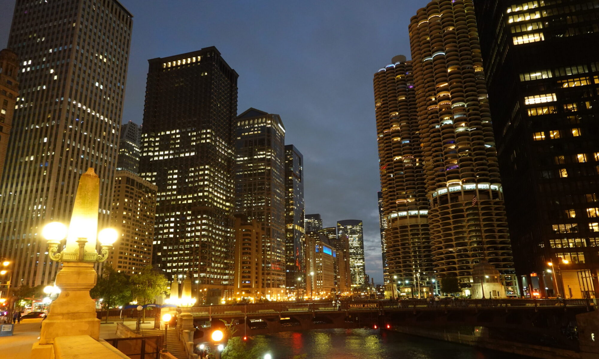
Someone was saying to us the other day that they found the geography confusing, so let’s try to help.
London is not a city. Technically, it’s a metropolitan area. Greater London is roughly contained with the M25 motorway. If you are a visitor to here, the chances you will be travelling on the M25 are very small.
You can think of it as a circle with the Thames passing from west to east through the middle. You can, but you’d be wrong. It is more an ellipse, being abouy 50km at its widest point.
London does contain cities. There is the City of London, which is the old bit around St Paul’s, the Bank of England and the Tower of London. There’s also the City of Westminster, around Parliament. Everything else is boroughs.
Technically, the Thames does come from the west and empties into the North Sea in the east, but it’s not through the middle, whatever that means, and it’s not straight.
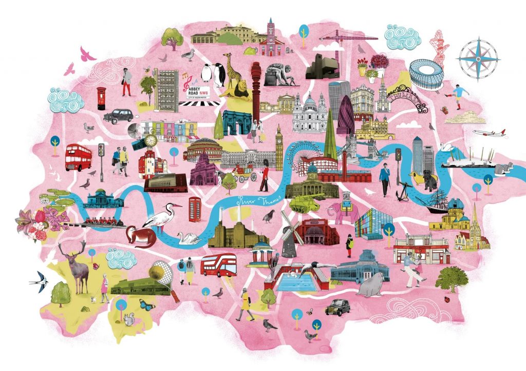
This little cartoon map shows very well that it is curvy, at some points running almost south to north. If you watch EastEnders, you will know this.
Anything north of the river is, um, north of the river, and anything south is, well, guess. So it’s perfectly possible to have something north that the geographically south of somewhere south of the river.
London is top heavy. Sorry everyone, but most of the interesting stuff is north of the river. Theatres, Oxford Street, the museums, the West End, the big parks. There are all sorts of reasons for this.
There are, of course, many interesting things south of the Thames, but relatively fewer. Many things like the South Bank Arts Centre are right on the river bank, so as far north as they can be but still south, where land is cheaper.
Most of the Underground is north.
It’s just how it is.