
The lines
There are eleven tubes lines, each with a different colour:
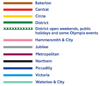
Some lines have limited services and they are indicated by a dotted line rather than a solid line, as the District above. The map will indicate when stations are open. Other lines that do this are the Piccadilly, Central, Bakerloo and Metropolitan.
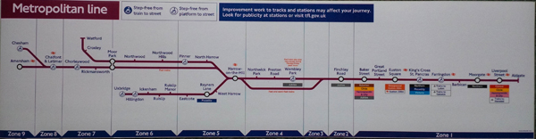
The Metropolitan line does have some limited stop (ie express) services and the maps in the trains show this (as do the announcements and platform indicators).
There are more complicated maps that also show the Docklands Light Railway (DLR), the Overground, trains and even trams. This map also shows the fare zones:
It lies
If you treat it as a map rather than a diagram, it will tell you lies. On it, distances are generally the same and this is not true in reality. At the far ends of the lines, in the countryside in many cases, stations can be kilometres apart. In the centre, literally just metres.
Classic examples quoted are Covent Garden – Leicester Square, which is maybe two minutes walk, or Queensway – Bayswater, which is even less. Also Charing Cross – Embankment is a very short walk.
Use a ‘proper’ London map or app if you want to know exact locations. Use this if you want to travel.