
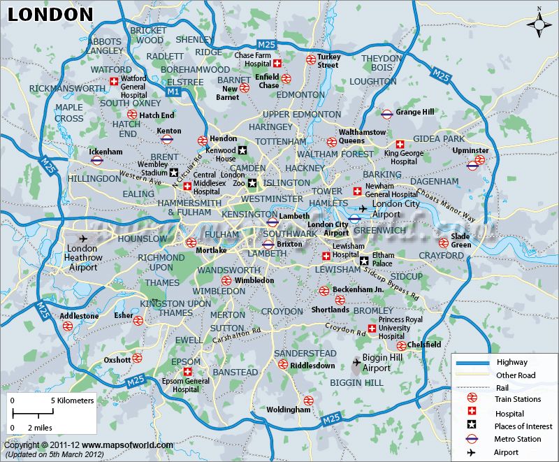
Roughly speaking, everything inside the M25 motorway (the big blue thing) counts as London, Greater London, and everything outside isn’t. Approximately. You can see from the map above. The population is 9 million ish.
The City of Westminster is an area around the Houses of Parliament and many of the bits of the UK government.
The City of London is an area around the Bank of England and the traditional financial district, more to the east. London City airport is not in the City of London.
Greater London is around 50 miles across (east to west) and 40 north to south. It’s kind of ovalish.
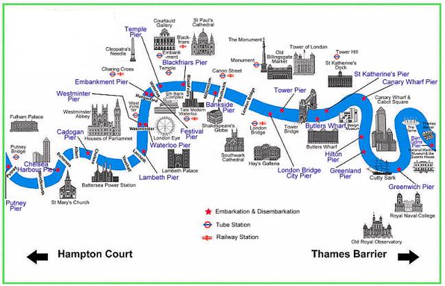
The River Thames runs through ‘the middle’ towards the North Sea. The Thames is not straight and meanders quite a bit as it goes west to east. Anything north of the Thames is north London, anything south is… well, you guessed it, south London, ‘south of the river’. Because it curves, there are places that are ‘south’ of the river that are actually further north than adjacent places that are ‘north’ of the river.
Anything to the east of the City of London, is East End, traditionally docks, run down and poor until recently when it has been developed and the abandoned docks repurposed.
To the west of the City of London and traditionally north of the river is the West End, where visitors spend much of their time. Here’s theatreland, nightlife, big shops, hotels, museums and sights.
Of course, there are very many places of interest south of the river, but London really is a bit top heavy. The tube map shows that, as we will see.